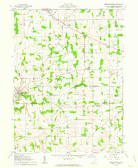
1961 Map of Fredericksburg
USGS Topo · Published 1963About this map
Fredericksburg and Apple Creek anchor this early 1960s landscape, where the agricultural traditions of Salt Creek and East Union townships meet the rising industrial footprint of the era. The terrain is marked by a high density of rural schoolhouses, including Waynedale Sch, Fountain Nook Sch, and Leeper Sch, reflecting a dispersed but active community structure. The Pennsylvania railroad line cuts through the western sections, connecting these villages to broader markets.
Find a feature on this map
38 named features on this map. Tap any name to fly to it.
Don’t see what you’re looking for? This feature index may not catch every label — zoom into the map to look around manually.
Map Details
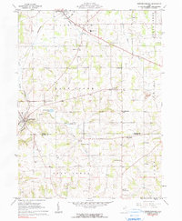
Editions of this 1961 Fredericksburg Map
2 editions found
Other maps of this area

1901 · Massillon
USGS Topo · 1:62,500

1901 · Wooster
USGS Topo · 1:62,500

1903 · Massillon
USGS Topo · 1:62,500

1903 · Wooster
USGS Topo · 1:62,500

1914 · Navarre
USGS Topo · 1:62,500

1915 · Millersburg
USGS Topo · 1:62,500

1943 · Millersburg
USGS Topo · 1:62,500

1944 · Navarre
USGS Topo · 1:62,500

1951 · Canton
USGS Topo · 1:250,000

1953 · Canton
USGS Topo · 1:250,000