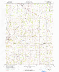
1961 Map of Fredricksburg
USGS Topo · Published 1990About this map
Fredericksburg stands at the heart of this landscape, situated at the boundary where Wayne Co Holmes Co meet in central Ohio. The area is defined by a dense network of country schools and rural churches, reflecting the well-established farming communities of East Union, Salt Creek, and Paint townships. Local education centers like Waynedale Sch, Fountain Nook Sch, and Dublin Sch are scattered across the terrain, serving the many farmsteads connected by winding county roads.
Find a feature on this map
37 named features on this map. Tap any name to fly to it.
Don’t see what you’re looking for? This feature index may not catch every label — zoom into the map to look around manually.
Map Details
Editions of this 1961 Fredricksburg Map
2 editions found
Other maps of this area

1901 · Massillon
USGS Topo · 1:62,500

1901 · Wooster
USGS Topo · 1:62,500

1903 · Massillon
USGS Topo · 1:62,500

1903 · Wooster
USGS Topo · 1:62,500

1914 · Navarre
USGS Topo · 1:62,500

1915 · Millersburg
USGS Topo · 1:62,500

1943 · Millersburg
USGS Topo · 1:62,500

1944 · Navarre
USGS Topo · 1:62,500

1951 · Canton
USGS Topo · 1:250,000

1953 · Canton
USGS Topo · 1:250,000