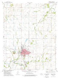
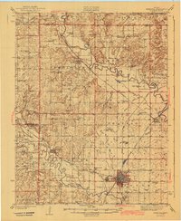
1975 Map of Fredonia
USGS Topo · Published 1978About this map
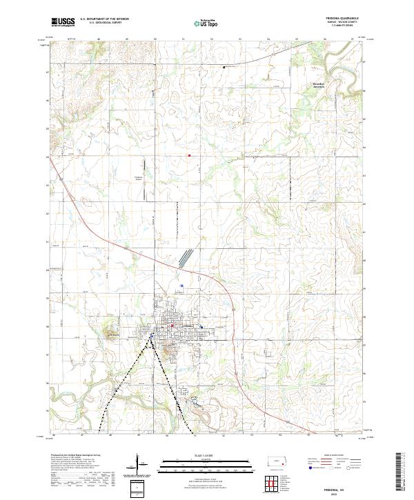
Fredonia serves as the central hub of this mid-1970s landscape, where the confluence of the Fall River and several creek systems defined the local topography. The town’s infrastructure is densely mapped, featuring the Courthouse, local schools like Lincoln Sch and High Sch, and the Fredonia Country Club. Transportation networks are a primary focus, illustrating the tracks of the Atchison Topeka and Santa Fe and the St Louis-San Francisco railroads, alongside evidence of earlier transit history like the Old Railroad Grade. Industrial activity is visible through several Oil Wells and an Oil Field to the north, while the rural perimeter includes the Fredonia Airport and the Drive-in Theater. To the north, the Verdigris River snakes through Guilford, while the eastern hills are marked by the prominent West Mound.
Find a feature on this map
41 named features on this map. Tap any name to fly to it.
Don’t see what you’re looking for? This feature index may not catch every label — zoom into the map to look around manually.
Map Details
Editions of this 1975 Fredonia Map
This is the sole edition of this map. No revisions or reprints were ever made.
Historical Maps of Fredonia Through Time
12 maps found

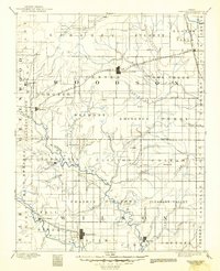
1886 Fredonia
Wilson County, KS
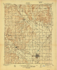
1894 Fredonia
Wilson County, KS

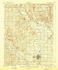
1938 Fredonia
Wilson County, KS
1939 Fredonia
Wilson County, KS
1942 Fredonia
Wilson County, KS
1943 Fredonia
Wilson County, KS
1975 Fredonia
Wilson County, KS
2010 Fredonia
Wilson County, KS
2012 Fredonia
Wilson County, KS
2016 Fredonia
Wilson County, KS
2018 Fredonia
Wilson County, KS
2022 Fredonia
Wilson County, KS