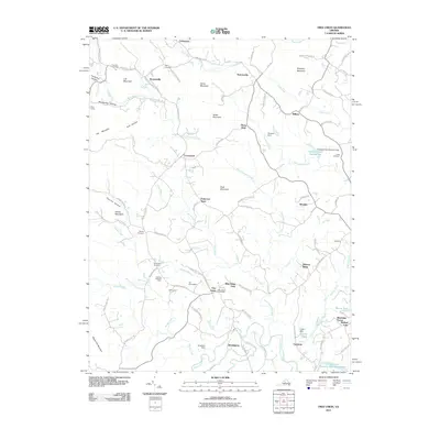
2011 Map of Free Union
USGS Topo · Published 2011About this map
Free Union serves as a central hub for this portion of Albemarle County, marked by the Free Union Post Office and nearby family landmarks like The Homestead and Springwood. The landscape is defined by the drainages of the Lynch River and Buck Mountain Creek, which flow through a region of distinct peaks such as Harris Mountain and Buck Mountain. Small settlements like Boonesville and Nortonsville are linked by a network of rural routes, including Boonesville Rd and Free Union Rd.
Find a feature on this map
99 named features on this map. Tap any name to fly to it.
Don’t see what you’re looking for? This feature index may not catch every label — zoom into the map to look around manually.
Map Details
Editions of this 2011 Free Union Map
This is the sole edition of this map. No revisions or reprints were ever made.
Other maps of this area

1892 · Gordonsville
USGS Topo · 1:125,000

1892 · Harrisonburg
USGS Topo · 1:125,000

1930 · Madison
USGS Topo · 1:48,000

1931 · University
USGS Topo · 1:62,500

1933 · Madison
USGS Topo · 1:62,500

1935 · Charlottesville
USGS Topo · 1:62,500

1935 · University
USGS Topo · 1:62,500

1937 · Elkton
USGS Topo · 1:62,500

1939 · Charlottesville
USGS Topo · 1:62,500

1949 · Charlottesville
USGS Topo · 1:250,000