2022 Map of Free Union
USGS Topo · Published 2022About this map
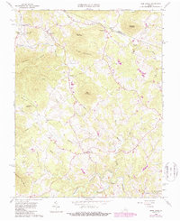
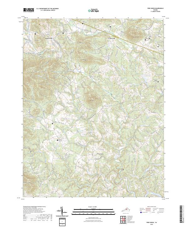
Free Union and Boonesville anchor a landscape defined by the intersection of the Blue Ridge foothills and the river valleys of central Virginia. The terrain is deeply corrugated by ridges like Bingham Mtn and Pigeon Top Mtn, creating isolated valleys such as Blackwells Hollow and Peavine Hollow. Family lineage is deeply inscribed on the land through numerous small burial grounds, including the Bruce Family Cem and Garth Family Cem, which sit near the confluence of Lynch River and Muddy Run. The southern portion of the map traces the emerging waters of the South Fork Rivanna River, formed by the meeting of the Moormans River and Mechums River. This network of waterways and the network of local roads like Simmons Gap Rd reveal how historic travel patterns were dictated by the gaps and ridges of the surrounding mountains.
Find a feature on this map
113 named features on this map. Tap any name to fly to it.
Don’t see what you’re looking for? This feature index may not catch every label — zoom into the map to look around manually.
Map Details
Editions of this 2022 Free Union Map
This is the sole edition of this map. No revisions or reprints were ever made.
Historical Maps of Davis Shop Through Time
3 maps found