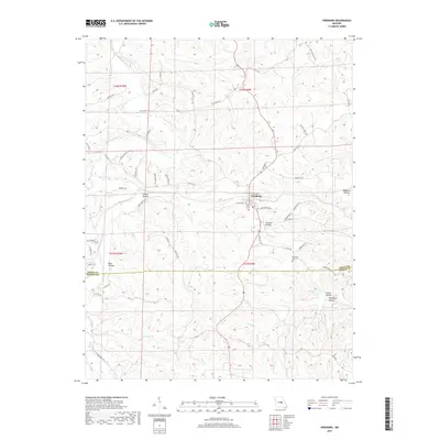
2017 Map of Freeburg
USGS Topo · Published 2017About this map
Freeburg sits at the heart of this central Missouri landscape, serving as a focal point for the surrounding rural communities near the border of Osage and Maries counties. The town is characterized by a mix of residential streets like E Walker St and local landmarks such as the Holy Family Cem. The geography is defined by a series of significant drainages and hollows, including the winding path of the Maries River and tributaries like Wansing Br and Cedar Cr. A network of family-named lanes and hollows, such as Steuber Hollow and Boehmer Hollow, indicates a landscape shaped by generations of local settlement and land use. The presence of the Breeding Cem and several distinct hollows named for schools or families suggests a deep connection to local genealogy and the historical distribution of homesteads throughout the river valleys and ridges of the region.
Find a feature on this map
60 named features on this map. Tap any name to fly to it.
Don’t see what you’re looking for? This feature index may not catch every label — zoom into the map to look around manually.
Map Details
Editions of this 2017 Freeburg Map
This is the sole edition of this map. No revisions or reprints were ever made.
Other maps of this area

1888 · Tuscumbia
USGS Topo · 1:125,000

1894 · Tuscumbia
USGS Topo · 1:125,000

1934 · Linn
USGS Topo · 1:48,000

1937 · Vienna
USGS Topo · 1:62,500

1938 · Vienna
USGS Topo · 1:48,000

1942 · Linn
USGS Topo · 1:62,500

1945 · Linn
USGS Topo · 1:62,500

1947 · Jefferson City
USGS Topo · 1:250,000

1948 · Meta
USGS Topo · 1:62,500

1948 · Tavern
USGS Topo · 1:62,500