2021 Map of Freeburg
USGS Topo · Published 2021About this map
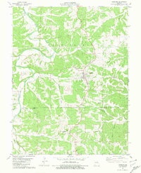
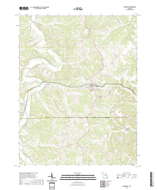
Freeburg serves as the central hub of this Missouri landscape, where the local topography is defined by a dense network of drainages and named hollows. The Maries River winds along the western edge, joined by smaller tributaries like Loose Cr and Wansing Br. This 2021 survey reveals a complex system of local roads and trails, such as Co Rte 522 and Sun Valley Trl, that navigate the ridges between deeply incised valleys. For genealogists and local historians, the presence of Holy Family Cem and Breeding Cem provides specific points of interest for family research. The map captures the dividing line between Osage and Maries counties, showing how the rural economy is still shaped by the terrain of features like School Hollow and Steuber Hollow.
Find a feature on this map
56 named features on this map. Tap any name to fly to it.
Don’t see what you’re looking for? This feature index may not catch every label — zoom into the map to look around manually.
Map Details
Editions of this 2021 Freeburg Map
This is the sole edition of this map. No revisions or reprints were ever made.
Historical Maps of Freeburg Through Time
5 maps found