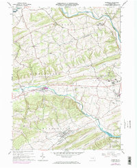
1965 Map of Freeburg
USGS Topo · Published 1973About this map
Penns Creek and Middle Creek define the drainage of this central Pennsylvania landscape, winding through the valley between Middle Creek Mountain and White Top. The area is characterized by a series of small agricultural and industrial settlements including Freeburg, Kreamer, and the outskirts of Selinsgrove. Of particular note is the sprawling campus of the Selinsgrove State School and Hospital on the eastern edge of the quadrangle.
Find a feature on this map
43 named features on this map. Tap any name to fly to it.
Don’t see what you’re looking for? This feature index may not catch every label — zoom into the map to look around manually.
Map Details
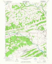
Editions of this 1965 Freeburg Map
2 editions found
Other maps of this area

1893 · Sunbury
USGS Topo · 1:62,500

1893 · Millersburg
USGS Topo · 1:62,500

1907 · Millerstown
USGS Topo · 1:62,500

1938 · Mifflinburg
USGS Topo · 1:48,000

1943 · Millerstown
USGS Topo · 1:62,500

1943 · Millersburg
USGS Topo · 1:62,500

1943 · Sunbury
USGS Topo · 1:62,500

1943 · Mifflinburg
USGS Topo · 1:62,500
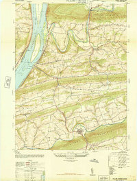
1947 · Pillow
USGS Topo · 1:24,000
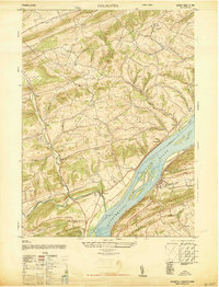
1947 · Dalmatia
USGS Topo · 1:24,000