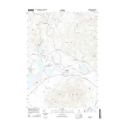
2015 Map of Freedom
USGS Topo · Published 2015About this map
Ossipee Lake and its intricate eastern shoreline dominate this mid-2010s survey, illustrating a landscape defined by the convergence of the Ossipee River and Pine River. The village of Freedom serves as a local hub near Loon Lake, while Effingham Falls marks a historic crossing point at the river's narrows. The map captures the dense concentration of seasonal and year-round development at Ossipee Lake Shores and around Berry Bay, contrasted with the significant elevations of Green Mtn and Hanson Top to the south.
Find a feature on this map
128 named features on this map. Tap any name to fly to it.
Don’t see what you’re looking for? This feature index may not catch every label — zoom into the map to look around manually.
Map Details
Editions of this 2015 Freedom Map
This is the sole edition of this map. No revisions or reprints were ever made.
Other maps of this area

1891 · Newfield
USGS Topo · 1:62,500

1893 · Newfield
USGS Topo · 1:62,500

1910 · Kezar Falls
USGS Topo · 1:48,000

1911 · Kezar Falls
USGS Topo · 1:62,500

1928 · Wolfeboro
USGS Topo · 1:62,500

1930 · Ossipee Lake
USGS Topo · 1:62,500

1933 · Newfield
USGS Topo · 1:48,000

1937 · Newfield
USGS Topo · 1:62,500

1942 · Newfield
USGS Topo · 1:62,500

1944 · Newfield
USGS Topo · 1:62,500