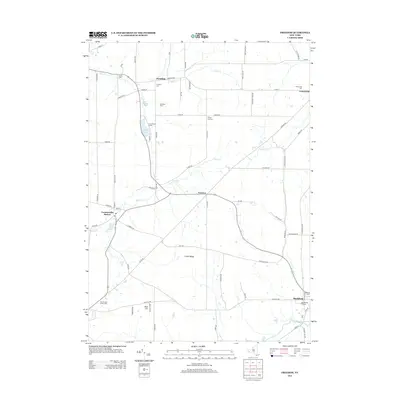
2013 Map of Freedom
USGS Topo · Published 2013About this map
Freedom and Centerville anchor this western New York landscape, where the rural topography is defined by the drainage of Clear Cr and Elton Cr. The area is notably dense with historical burial sites, ranging from the Old Burying Grounds near Rushford to the County Line Cem and Salem Cem. This concentration of cemeteries, alongside the tiny crossroads of Fairview and the post office at Farmersville Station, suggests a long-settled agricultural community with deep ancestral roots.
Find a feature on this map
81 named features on this map. Tap any name to fly to it.
Don’t see what you’re looking for? This feature index may not catch every label — zoom into the map to look around manually.
Map Details
Editions of this 2013 Freedom Map
This is the sole edition of this map. No revisions or reprints were ever made.
Other maps of this area

1905 · Portage
USGS Topo · 1:62,500

1906 · Angelica
USGS Topo · 1:62,500

1923 · Arcade
USGS Topo · 1:62,500

1924 · Franklinville
USGS Topo · 1:62,500

1925 · Arcade
USGS Topo · 1:62,500

1941 · Angelica
USGS Topo · 1:62,500

1942 · Franklinville
USGS Topo · 1:62,500

1943 · Pike
USGS Topo · 1:24,000

1944 · Pike
USGS Topo · 1:31,680

1960 · Buffalo
USGS Topo · 1:250,000