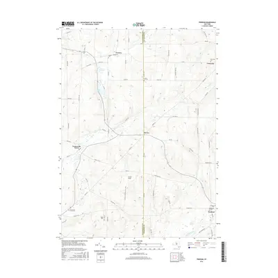
2016 Map of Freedom
USGS Topo · Published 2016About this map
Freedom and the rural hills of northern Cattaraugus and Allegany counties are meticulously documented in this 2016 survey. The landscape is defined by its deep commitment to local heritage, evidenced by numerous burial sites such as Salem Cem, Freedom Cem, and the Old Burying Grounds near Rushford. These cemeteries, often positioned near historic road intersections and town lines, provide a clear record of early settlement patterns in Western New York.
Find a feature on this map
73 named features on this map. Tap any name to fly to it.
Don’t see what you’re looking for? This feature index may not catch every label — zoom into the map to look around manually.
Map Details
Editions of this 2016 Freedom Map
This is the sole edition of this map. No revisions or reprints were ever made.
Other maps of this area

1905 · Portage
USGS Topo · 1:62,500

1906 · Angelica
USGS Topo · 1:62,500

1923 · Arcade
USGS Topo · 1:62,500

1924 · Franklinville
USGS Topo · 1:62,500

1925 · Arcade
USGS Topo · 1:62,500

1941 · Angelica
USGS Topo · 1:62,500

1942 · Franklinville
USGS Topo · 1:62,500

1943 · Pike
USGS Topo · 1:24,000

1944 · Pike
USGS Topo · 1:31,680

1960 · Buffalo
USGS Topo · 1:250,000