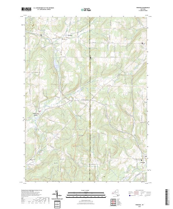
2023 Map of Freedom
USGS Topo · Published 2023About this map
The boundary between Cattaraugus Co and Allegany Co cuts vertically through this rural landscape, anchoring a series of small settlements and historic burial grounds. The hamlet of Freedom sits in the north, surrounded by the Freedom Cem and Salem Cem, while the community of Rushford and the Farmersville Station area provide southern and western anchors. The terrain is defined by prominent elevations like Cream Ridge and Bush Hill, which guide the flow of Elton Creek and Clear Creek through the valley floors.
Find a feature on this map
73 named features on this map. Tap any name to fly to it.
Don’t see what you’re looking for? This feature index may not catch every label — zoom into the map to look around manually.
Map Details
Editions of this 2023 Freedom Map
This is the sole edition of this map. No revisions or reprints were ever made.
Other maps of this area

1905 · Portage
USGS Topo · 1:62,500

1906 · Angelica
USGS Topo · 1:62,500

1923 · Arcade
USGS Topo · 1:62,500

1924 · Franklinville
USGS Topo · 1:62,500

1925 · Arcade
USGS Topo · 1:62,500

1941 · Angelica
USGS Topo · 1:62,500

1942 · Franklinville
USGS Topo · 1:62,500

1943 · Pike
USGS Topo · 1:24,000

1944 · Pike
USGS Topo · 1:31,680

1960 · Buffalo
USGS Topo · 1:250,000