Loading...
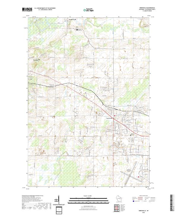
Loading map...2022 Map of Freedom
USGS Topo · Published 2022About this map
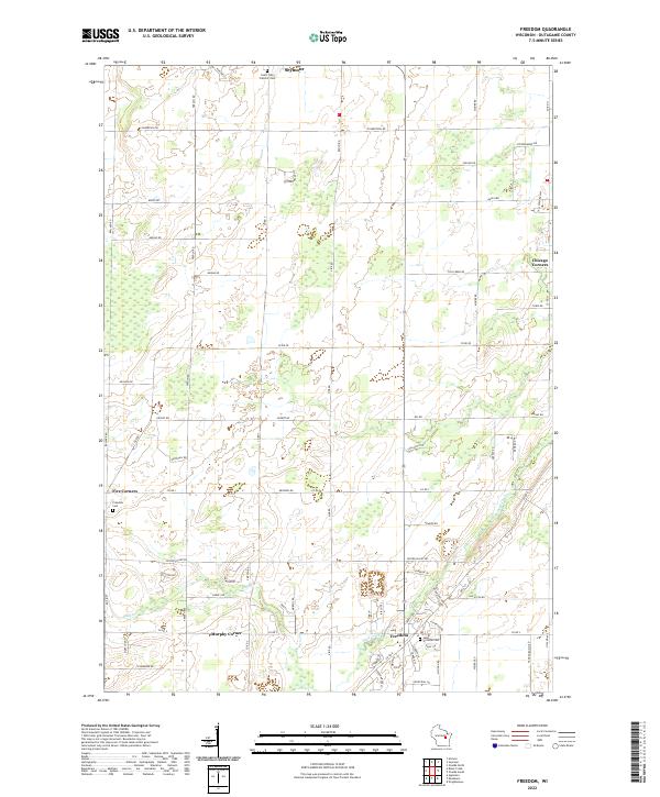
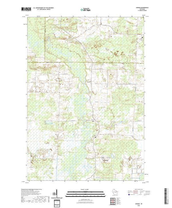
Duck Creek winds through this section of Outagamie County, anchoring a landscape defined by small crossroads settlements and family-named routes. The village of Freedom serves as a local hub, flanked by several long-established burial grounds including Saint Nicholas Cem and the Freedom Cem further west. To the north, the map captures the outskirts of Seymour, where Saint John Catholic Cem marks the transition from town to the agricultural grid of the surrounding townships.
Find a feature on this map
68 named features on this map. Tap any name to fly to it.
Don’t see what you’re looking for? This feature index may not catch every label — zoom into the map to look around manually.
Map Details
Date Portrayed2022
Date Published2022
PublisherU.S. Geological Survey
Map TypeTopographic
Scale1:24000
Physical Dimensions24 x 29 inches
Editions of this 2022 Freedom Map
This is the sole edition of this map. No revisions or reprints were ever made.
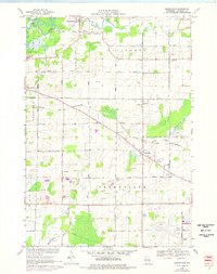
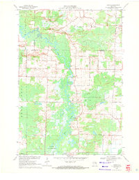
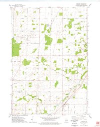
Historical Maps of Kaukauna Through Time
9 maps found
Featured Locations
Source Details
SourceU.S. Geological Survey
CopyrightPublic Domain