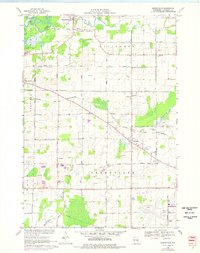
1969 Map of Greenville
USGS Topo · Published 1976About this map
Stephensville and Greenville anchor this agricultural landscape in Outagamie County, where the meandering Wolf River and Bear Creek define the northern drainage patterns. The era is one of transition, as traditional farming layouts intersect with the burgeoning Outagamie County Airport and the expanding Chicago and North Western railroad corridor. The map preserves the locations of several rural educational and religious centers, such as the Wide Awake Sch and Trinity Evangelical Ch, reflecting a community structure built around localized school districts and parish life.
Find a feature on this map
51 named features on this map. Tap any name to fly to it.
Don’t see what you’re looking for? This feature index may not catch every label — zoom into the map to look around manually.
Map Details
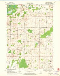
Editions of this 1969 Greenville Map
2 editions found
Other maps of this area

1911 · Neenah
USGS Topo · 1:62,500

1955 · Neenah
USGS Topo · 1:62,500

1955 · Appleton
USGS Topo · 1:24,000

1955 · Appleton
USGS Topo · 1:62,500

1955 · Neenah
USGS Topo · 1:24,000

1955 · Green Bay
USGS Topo · 1:250,000

1956 · New London
USGS Topo · 1:48,000

1961 · Oshkosh
USGS Topo · 1:62,500

1961 · Oshkosh NE
USGS Topo · 1:24,000

1961 · Oshkosh NW
USGS Topo · 1:24,000