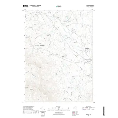
2019 Map of Freehold
USGS Topo · Published 2019About this map
Catskill Creek winds through the heart of this landscape, connecting the northern settlements of Freehold and East Durham with the southern reaches of Acra and Cairo. The terrain transitions sharply from the alluvial flats near Woodstock and Purling into the dramatic heights of the Blackhead Mountains. Family history and local heritage are well-preserved through numerous burial grounds, including the Acra Village Cem, Snyder Cem, and Taylor Cem, reflecting a long-standing pattern of rural landownership. The northeastern quadrant is defined by the drainage of Platte Kill, while the southwestern corner rises toward the prominent peaks of Blackhead and Black Dome. Freehold Airport sits as a notable local landmark amidst a network of established county routes and historic roads like Old Rte 23 that have long facilitated movement through the Catskill foothills.
Find a feature on this map
116 named features on this map. Tap any name to fly to it.
Don’t see what you’re looking for? This feature index may not catch every label — zoom into the map to look around manually.
Map Details
Editions of this 2019 Freehold Map
This is the sole edition of this map. No revisions or reprints were ever made.
Other maps of this area

1892 · Kaaterskill
USGS Topo · 1:62,500

1893 · Kaaterskill
USGS Topo · 1:62,500

1893 · Coxsackie
USGS Topo · 1:62,500

1893 · Durham
USGS Topo · 1:62,500

1894 · Coxsackie
USGS Topo · 1:62,500

1894 · Kaaterskill
USGS Topo · 1:62,500

1894 · Durham
USGS Topo · 1:62,500

1895 · Catskill
USGS Topo · 1:62,500

1899 · Kaaterskill
USGS Topo · 1:62,500

1903 · Kaaterskill
USGS Topo · 1:62,500