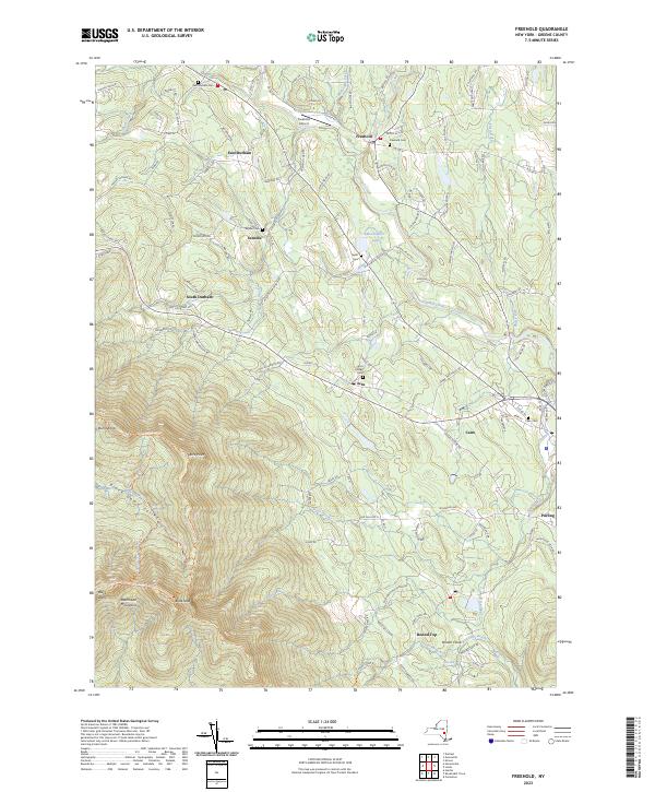
2023 Map of Freehold
USGS Topo · Published 2023About this map
Catskill Creek winds through the eastern foothills of the northern Catskills, defining a landscape of narrow valleys and high ridges in Greene County. The terrain rises sharply to the southwest, dominated by the peaks of the Blackhead Mountains, including Black Dome and Blackhead. Along the escarpment, hiking routes like the Escarpment Trl and Blackhead Range Trl provide access to notable outlooks such as Acra Point and Burnt Knob.
Find a feature on this map
58 named features on this map. Tap any name to fly to it.
Don’t see what you’re looking for? This feature index may not catch every label — zoom into the map to look around manually.
Map Details
Editions of this 2023 Freehold Map
This is the sole edition of this map. No revisions or reprints were ever made.
Other maps of this area

1892 · Kaaterskill
USGS Topo · 1:62,500

1893 · Kaaterskill
USGS Topo · 1:62,500

1893 · Coxsackie
USGS Topo · 1:62,500

1893 · Durham
USGS Topo · 1:62,500

1894 · Coxsackie
USGS Topo · 1:62,500

1894 · Kaaterskill
USGS Topo · 1:62,500

1894 · Durham
USGS Topo · 1:62,500

1895 · Catskill
USGS Topo · 1:62,500

1899 · Kaaterskill
USGS Topo · 1:62,500

1903 · Kaaterskill
USGS Topo · 1:62,500