
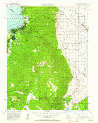
1956 Map of Freel Peak
USGS Topo · Published 1958About this map
Lake Tahoe's southern shoreline anchors this 1956 survey, capturing a moment of mid-century alpine development before the intense urbanization of later decades. The border between California and Nevada is clearly delineated by the Von Schmidt Line, passing through the burgeoning communities of Stateline and Bijou. To the south, the landscape is defined by the high peaks of the Toiyabe National Forest and Eldorado National Forest, including the namesake Freel Peak and Jobs Sister.
Find a feature on this map
119 named features on this map. Tap any name to fly to it.
Don’t see what you’re looking for? This feature index may not catch every label — zoom into the map to look around manually.
Map Details
Editions of this 1956 Freel Peak Map
3 editions found
Other maps of this area

1889 · Pyramid Peak
USGS Topo · 1:125,000

1889 · Markleeville
USGS Topo · 1:125,000

1891 · Carson
USGS Topo · 1:125,000

1891 · Markleeville
USGS Topo · 1:125,000

1891 · Truckee
USGS Topo · 1:125,000

1891 · Pyramid Peak
USGS Topo · 1:125,000

1893 · Carson
USGS Topo · 1:125,000

1893 · Markleeville
USGS Topo · 1:125,000

1893 · Truckee
USGS Topo · 1:125,000

1895 · Pyramid Peak
USGS Topo · 1:125,000