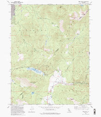
1992 Map of Freel Peak
USGS Topo · Published 1994About this map
Freel Peak and the high ridges of the Eldorado National Forest dominate this high-altitude landscape along the border of El Dorado and Alpine counties. The map captures a high-elevation crossroads where the West Fork Carson River winds near Sorensens, flanked by early 1990s recreation sites like Snowshoe Springs Campground and the Kit Carson Campground. Transport routes follow the natural topography, with the Pioneer Trail and Rim Trail traversing the terrain near Luther Pass and Armstrong Pass.
Find a feature on this map
34 named features on this map. Tap any name to fly to it.
Don’t see what you’re looking for? This feature index may not catch every label — zoom into the map to look around manually.
Map Details
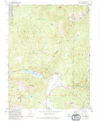
Editions of this 1992 Freel Peak Map
2 editions found
Other maps of this area

1889 · Pyramid Peak
USGS Topo · 1:125,000

1889 · Markleeville
USGS Topo · 1:125,000

1891 · Markleeville
USGS Topo · 1:125,000

1891 · Pyramid Peak
USGS Topo · 1:125,000

1893 · Markleeville
USGS Topo · 1:125,000

1895 · Pyramid Peak
USGS Topo · 1:125,000

1896 · Pyramid Peak
USGS Topo · 1:125,000

1947 · Sacramento
USGS Topo · 1:250,000

1948 · Walker Lake
USGS Topo · 1:250,000

1948 · Sacramento
USGS Topo · 1:250,000