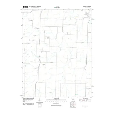
2009 Map of Freeman
USGS Topo · Published 2009About this map
Freeman and the smaller settlement of Lisle anchor this portion of Cass County, Missouri, characterized by a transition from organized township grids to the winding paths of rural drainages. The landscape is defined by its water management, featuring several private and community impoundments such as Cook Lake Dam, Heine Lake Dam, and Lisle Pond Dam. These structures sit along the headwaters of regional streams like Poney Creek and Coldwater Creek, supporting the agricultural character of the region.
Find a feature on this map
58 named features on this map. Tap any name to fly to it.
Don’t see what you’re looking for? This feature index may not catch every label — zoom into the map to look around manually.
Map Details
Editions of this 2009 Freeman Map
This is the sole edition of this map. No revisions or reprints were ever made.
Other maps of this area

1887 · Harrisonville
USGS Topo · 1:125,000

1887 · Olathe
USGS Topo · 1:125,000

1887 · Butler
USGS Topo · 1:125,000

1887 · Mound City
USGS Topo · 1:125,000

1892 · Harrisonville
USGS Topo · 1:125,000

1893 · Mound City
USGS Topo · 1:125,000

1893 · Olathe
USGS Topo · 1:125,000

1894 · Harrisonville
USGS Topo · 1:125,000

1894 · Butler
USGS Topo · 1:125,000

1947 · Lawrence
USGS Topo · 1:250,000