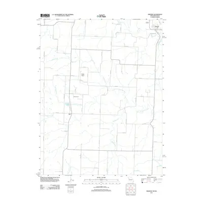
2011 Map of Freeman
USGS Topo · Published 2011About this map
Freeman and the smaller settlement of Lisle anchor this rural landscape in Cass County, where the topography is defined by the winding course of the South Fork South Grand River and its numerous tributaries. The map details a transition from the agricultural plateaus to the drainage basins of Cave Spring Creek, Harless Creek, and Harding Creek. Aviation history and local infrastructure are noted through the presence of Hilltop Airport and Bishops Landing Airport, alongside the smaller Lisle Pond. The rural road network, including Cold Water Rd and State Line Rd, illustrates the grid-based development common to this part of the Missouri-Kansas border. For genealogists, the Freeman Cemetery serves as a primary point of interest for tracing early families in the region.
Find a feature on this map
51 named features on this map. Tap any name to fly to it.
Don’t see what you’re looking for? This feature index may not catch every label — zoom into the map to look around manually.
Map Details
Editions of this 2011 Freeman Map
This is the sole edition of this map. No revisions or reprints were ever made.
Other maps of this area

1887 · Harrisonville
USGS Topo · 1:125,000

1887 · Olathe
USGS Topo · 1:125,000

1887 · Butler
USGS Topo · 1:125,000

1887 · Mound City
USGS Topo · 1:125,000

1892 · Harrisonville
USGS Topo · 1:125,000

1893 · Mound City
USGS Topo · 1:125,000

1893 · Olathe
USGS Topo · 1:125,000

1894 · Harrisonville
USGS Topo · 1:125,000

1894 · Butler
USGS Topo · 1:125,000

1947 · Lawrence
USGS Topo · 1:250,000