2021 Map of Freeman
USGS Topo · Published 2021About this map
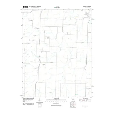
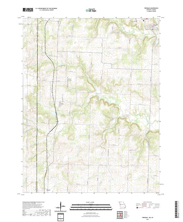
The Kansas Missouri state line defines the western edge of this landscape, separating the plains of eastern Kansas from the rural reaches of Cass County. At the northern boundary, the town of Freeman serves as a local hub near the Freeman Cem and Veach Field, while the southern border captures the outskirts of Drexel. This region is defined by a dense network of watercourses, including S Fork S Grand River and Harless Cr, which carve through the terrain as they flow toward larger basins. Central to the map is the small community of Lisle, located near Lisle Pond and the Hilltop Airport. The map also identifies local landmarks like Bishop's Landing, illustrating the intersection of agricultural land use and rural aviation in this borderland area.
Find a feature on this map
42 named features on this map. Tap any name to fly to it.
Don’t see what you’re looking for? This feature index may not catch every label — zoom into the map to look around manually.
Map Details
Editions of this 2021 Freeman Map
This is the sole edition of this map. No revisions or reprints were ever made.
Historical Maps of Drexel Through Time
6 maps found