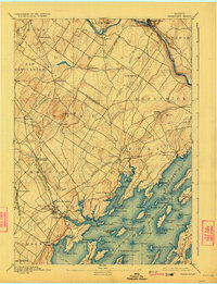
1892 Map of Freeport
USGS Topo · Published 1923About this map
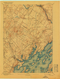
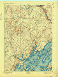
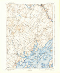
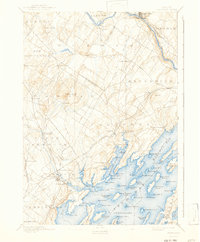
Maine Central Railroad and Grand Trunk Railroad lines converge at Yarmouth Junction, illustrating the vital rail infrastructure of coastal Maine in the late nineteenth century. This survey, led by Marcus Baker, reveals a landscape where maritime and terrestrial transport met at numerous tidal points including Mast Landing, Porter Landing, and Bunganuc Landing. The map details the intricate shoreline of Macoit Bay and the Harraseeket River, dotted with family-named points like Parker Point and Lanes Island. Inland, the terrain rises toward Bradbury Mt, surrounded by a network of rural settlements such as North Pownal and South Durham. The proximity of Yarmouthville and Yarmouth shows a developing urban density along the Royal River just before the turn of the century.
Find a feature on this map
99 named features on this map. Tap any name to fly to it.
Don’t see what you’re looking for? This feature index may not catch every label — zoom into the map to look around manually.
Map Details
Editions of this 1892 Freeport Map
9 editions found
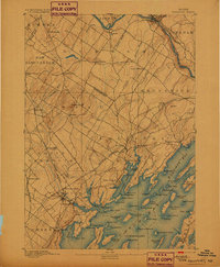
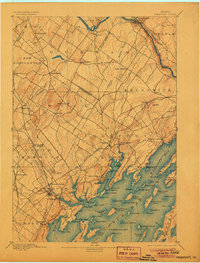
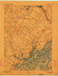
Other maps of this area

1891 · Portland
USGS Topo · 1:62,500

1892 · Gardiner
USGS Topo · 1:62,500

1892 · Freeport
USGS Topo · 1:62,500

1893 · Small Point
USGS Topo · 1:62,500

1893 · Portland
USGS Topo · 1:62,500

1893 · Casco Bay
USGS Topo · 1:62,500

1894 · Gray
USGS Topo · 1:62,500

1894 · Bath
USGS Topo · 1:62,500

1898 · Gray
USGS Topo · 1:62,500

1908 · Poland
USGS Topo · 1:62,500