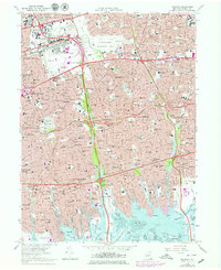
1969 Map of Freeport
USGS Topo · Published 1979About this map
Roosevelt Raceway and the sprawling Eisenhower Memorial Park dominate the central landscape of central Long Island during this era of suburban maturity. The map reveals an intricate network of transit and recreation, where the Long Island Rail Road and parkways like the Meadowbrook State Parkway serve dense residential clusters in Freeport and Hicksville. Educational and civic anchors such as Hofstra College, Nassau Community College, and the County Jail reflect the post-war development of Nassau County's infrastructure.
Find a feature on this map
93 named features on this map. Tap any name to fly to it.
Don’t see what you’re looking for? This feature index may not catch every label — zoom into the map to look around manually.
Map Details
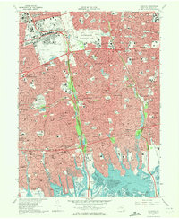
Editions of this 1969 Freeport Map
2 editions found
Other maps of this area

1897 · Hempstead
USGS Topo · 1:62,500

1897 · Oyster Bay
USGS Topo · 1:62,500

1898 · Hempstead
USGS Topo · 1:62,500

1898 · Oyster Bay
USGS Topo · 1:62,500

1899 · Hempstead
USGS Topo · 1:62,500

1900 · Oyster Bay
USGS Topo · 1:62,500

1901 · Babylon
USGS Topo · 1:62,500

1901 · Northport
USGS Topo · 1:62,500

1903 · Babylon
USGS Topo · 1:62,500

1903 · Northport
USGS Topo · 1:62,500