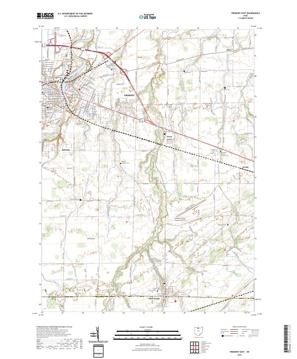
2023 Map of Fremont East
USGS Topo · Published 2023About this map
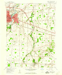
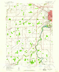
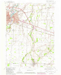
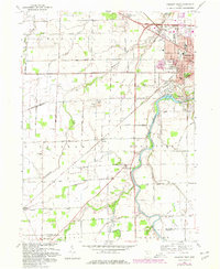
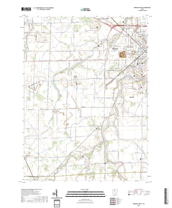
The Sandusky River flows through the heart of Fremont, anchoring a landscape defined by its rich agricultural history and civic development in Sandusky County. The river splits around Bradys Island near the downtown core, where the Sandusky County Courthouse stands as a central landmark. The transition from the urban streets of Fremont and Clyde to the surrounding townships reveals a dense network of country burial grounds, including the Mount Lebanon Cem and Schoch Cem, which serve as vital markers for local genealogical research. To the south, the community of Green Springs sits near the Saint Francis Springs at the county line. The presence of the Sandusky County Regional Airport and various named waterways like Bark Creek and Green Creek illustrates the integration of modern infrastructure within the traditional rural framework of northern Ohio.
Find a feature on this map
154 named features on this map. Tap any name to fly to it.
Don’t see what you’re looking for? This feature index may not catch every label — zoom into the map to look around manually.
Map Details
Editions of this 2023 Fremont East Map
This is the sole edition of this map. No revisions or reprints were ever made.
Historical Maps of Fremont Through Time
6 maps found