
1958 Map of Fremont West
USGS Topo · Published 1960About this map
Sandusky River waters flow northward through this landscape, passing the established community of Ballville and the western edge of Fremont. The 1950s cultural survey reveals an active rural economy evidenced by a dense network of oil wells and an Oil Field concentrated in Washington township. Along the river, landmarks like the Mull Covered Bridge and the Fourmile House suggest a long history of transit and hospitality.
Find a feature on this map
75 named features on this map. Tap any name to fly to it.
Don’t see what you’re looking for? This feature index may not catch every label — zoom into the map to look around manually.
Map Details
Editions of this 1958 Fremont West Map
This is the sole edition of this map. No revisions or reprints were ever made.
Other maps of this area

1901 · Fostoria
USGS Topo · 1:62,500

1901 · Fremont
USGS Topo · 1:62,500

1901 · Elmore
USGS Topo · 1:62,500

1903 · Fremont
USGS Topo · 1:62,500

1903 · Fostoria
USGS Topo · 1:62,500

1903 · Elmore
USGS Topo · 1:62,500

1906 · Tiffin
USGS Topo · 1:62,500

1956 · Toledo
USGS Topo · 1:250,000
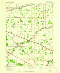
1957 · Lindsey
USGS Topo · 1:24,000
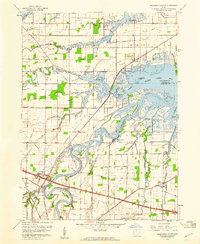
1957 · Wightmans Grove
USGS Topo · 1:24,000