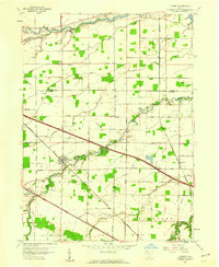
1957 Map of Lindsey
USGS Topo · Published 1960About this map
The village of Lindsey serves as the focal point of this Northwest Ohio landscape during the late 1950s, situated at the junction of the New York Central Line and the winding Muddy Creek. The map documents a transition in regional transportation, showing the recently constructed Ohio Turnpike slicing diagonally across the rural grid, contrasting with older thoroughfares like the General Mc Pherson Highway.
Find a feature on this map
40 named features on this map. Tap any name to fly to it.
Don’t see what you’re looking for? This feature index may not catch every label — zoom into the map to look around manually.
Map Details
Editions of this 1957 Lindsey Map
This is the sole edition of this map. No revisions or reprints were ever made.
Other maps of this area

1900 · Maumee Bay
USGS Topo · 1:62,500

1900 · Oak Harbor
USGS Topo · 1:62,500

1901 · Fremont
USGS Topo · 1:62,500

1901 · Elmore
USGS Topo · 1:62,500

1903 · Fremont
USGS Topo · 1:62,500

1903 · Elmore
USGS Topo · 1:62,500

1935 · Genoa
USGS Topo · 1:24,000
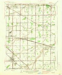
1938 · Genoa
USGS Topo · 1:31,680
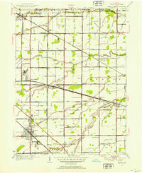
1952 · Genoa
USGS Topo · 1:24,000

1952 · Oak Harbor
USGS Topo · 1:24,000