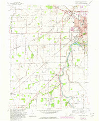
1969 Map of Fremont West
USGS Topo · Published 1980About this map
The Sandusky River winds through this landscape, marking the transition from the city of Fremont and Ballville into the agricultural expanses of Washington and Jackson townships. A notable intersection of history and geography appears in the southeast, where the Old Indian Treaty Boundary cuts diagonally across the grid of section lines and modern roads. Local heritage is deeply rooted in the numerous family and church burial grounds, including the Hayes State Memorial Cem and the Ludwig Cem, which dot the rural countryside.
Find a feature on this map
79 named features on this map. Tap any name to fly to it.
Don’t see what you’re looking for? This feature index may not catch every label — zoom into the map to look around manually.
Map Details
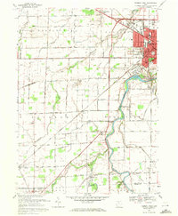
Editions of this 1969 Fremont West Map
2 editions found
Other maps of this area

1901 · Fostoria
USGS Topo · 1:62,500

1901 · Fremont
USGS Topo · 1:62,500

1901 · Elmore
USGS Topo · 1:62,500

1903 · Fremont
USGS Topo · 1:62,500

1903 · Fostoria
USGS Topo · 1:62,500

1903 · Elmore
USGS Topo · 1:62,500

1906 · Tiffin
USGS Topo · 1:62,500

1956 · Toledo
USGS Topo · 1:250,000
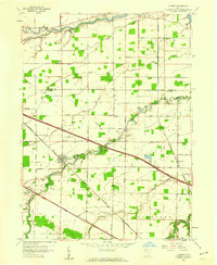
1957 · Lindsey
USGS Topo · 1:24,000
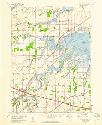
1957 · Wightmans Grove
USGS Topo · 1:24,000