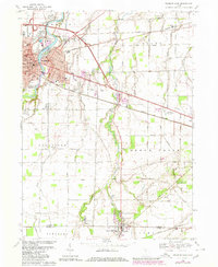
1969 Map of Fremont East
USGS Topo · Published 1980About this map
Fremont serves as the focal point of this Sandusky County landscape, where the Sandusky River curves around Bradys Island and the local Fairgrounds. The industrial and social character of the late 1960s is evident in the transition from the urban center to the surrounding townships of Ballville and Riley. The presence of the Norfolk And Western and Conrail lines, alongside features like the Drive-in Theater and Whirlpool Park, illustrates a mid-century community balancing manufacturing, transit, and recreation.
Find a feature on this map
72 named features on this map. Tap any name to fly to it.
Don’t see what you’re looking for? This feature index may not catch every label — zoom into the map to look around manually.
Map Details
Editions of this 1969 Fremont East Map
2 editions found
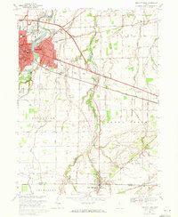
Other maps of this area

1901 · Bellevue
USGS Topo · 1:62,500

1901 · Fremont
USGS Topo · 1:62,500

1903 · Bellevue
USGS Topo · 1:62,500

1903 · Fremont
USGS Topo · 1:62,500

1906 · Tiffin
USGS Topo · 1:62,500

1915 · Siam
USGS Topo · 1:62,500

1956 · Toledo
USGS Topo · 1:250,000
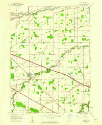
1957 · Lindsey
USGS Topo · 1:24,000

1957 · Vickery
USGS Topo · 1:24,000
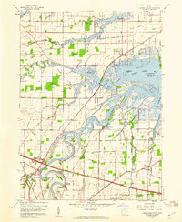
1957 · Wightmans Grove
USGS Topo · 1:24,000