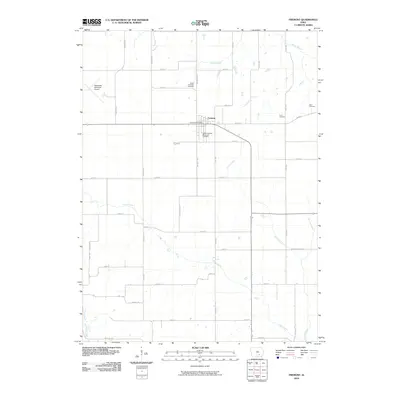
2010 Map of Fremont
USGS Topo · Published 2010About this map
The town of Fremont serves as the central hub of this Mahaska County landscape, where the local economy and social life are anchored by the Fremont Post Office and a network of surrounding family farms. The map reveals a high concentration of burial sites important for genealogical research, including the Cedar Township Cemetery, Cedar Township Memorial Cemetery, Ford Cemetery, and Helm Cemetery. This distribution of cemeteries across the township reflects the early settlement patterns and family heritage of the region.
Find a feature on this map
40 named features on this map. Tap any name to fly to it.
Don’t see what you’re looking for? This feature index may not catch every label — zoom into the map to look around manually.
Map Details
Editions of this 2010 Fremont Map
This is the sole edition of this map. No revisions or reprints were ever made.
Other maps of this area

1954 · Des Moines
USGS Topo · 1:250,000

1956 · Des Moines
USGS Topo · 1:250,000

1956 · Farson
USGS Topo · 1:24,000

1956 · Ottumwa North
USGS Topo · 1:62,500

1956 · Ottumwa North
USGS Topo · 1:24,000

1957 · Des Moines
USGS Topo · 1:250,000

1965 · Rose Hill
USGS Topo · 1:24,000

1965 · Delta
USGS Topo · 1:24,000

1968 · University Park
USGS Topo · 1:24,000

1968 · Kirkville
USGS Topo · 1:24,000