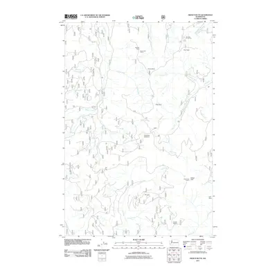
2011 Map of French Butte
USGS Topo · Published 2011About this map
Ferrous Point Lookout and Badger Peak Lookout anchor this high-elevation landscape within the southern Cascade Range. The terrain is defined by a dense network of forest service roads and drainage basins, where waterways like Iron Creek and Pinto Creek carve through steep topography marked by distinctive volcanic and glacial formations. Named landmarks such as The Loaf, Pinto Rock, and Kirk Rock serve as navigational waypoints for those traversing the ridges between French Butte and Badger Peak.
Find a feature on this map
31 named features on this map. Tap any name to fly to it.
Don’t see what you’re looking for? This feature index may not catch every label — zoom into the map to look around manually.
Map Details
Editions of this 2011 French Butte Map
This is the sole edition of this map. No revisions or reprints were ever made.
Other maps of this area

1919 · Mount St Helens
USGS Topo · 1:125,000

1926 · Steamboat Mtn
USGS Topo · 1:125,000

1931 · Steamboat Mtn
USGS Topo · 1:125,000

1950 · Yakima
USGS Topo · 1:250,000

1953 · Hoquiam
USGS Topo · 1:250,000

1957 · Hoquiam
USGS Topo · 1:250,000

1957 · Spirit Lake
USGS Topo · 1:62,500

1958 · Mt St. Helens
USGS Topo · 1:62,500

1958 · Yakima
USGS Topo · 1:250,000

1958 · Hoquiam
USGS Topo · 1:250,000