
1957 Map of Spirit Lake
USGS Topo · Published 1959About this map
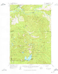
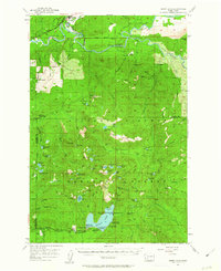
Spirit Lake serves as the centerpiece of this mid-century landscape within the Gifford Pinchot National Forest, documented several decades before the catastrophic 1980 eruption of Mount St. Helens. The area is a dense network of recreational camps and resource extraction, featuring lakeside retreats such as Spirit Lake Lodge, St Helens Lodge, and Harmony Falls Lodge. Youth organizations established a strong presence along the shoreline, including a Girl Scout Camp, Boy Scout Camp, and YMCA Camp.
Find a feature on this map
92 named features on this map. Tap any name to fly to it.
Don’t see what you’re looking for? This feature index may not catch every label — zoom into the map to look around manually.
Map Details
Editions of this 1957 Spirit Lake Map
3 editions found
Other maps of this area

1919 · Mount St Helens
USGS Topo · 1:125,000

1924 · Mt Rainier
USGS Topo · 1:96,000

1926 · Steamboat Mtn
USGS Topo · 1:125,000

1928 · Mt Rainier
USGS Topo · 1:125,000

1931 · Steamboat Mtn
USGS Topo · 1:125,000

1937 · Eatonville
USGS Topo · 1:125,000

1950 · Yakima
USGS Topo · 1:250,000

1953 · Hoquiam
USGS Topo · 1:250,000

1953 · Cougar
USGS Topo · 1:62,500

1953 · Elk Rock
USGS Topo · 1:62,500