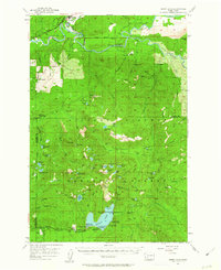
1957 Map of Spirit Lake
USGS Topo · Published 1963About this map
The Cowlitz River and Cispus River dominate the northern landscape of this 1950s survey, showing the region before the creation of the Cowlitz Falls Reservoir. Small settlements like Kosmos and Glenoma are visible along the river valleys, where a Logging Railroad and various gravel pits indicate an active timber and resource economy. To the south, the deep waters of Spirit Lake are surrounded by a thriving recreational community including the Spirit Lake Lodge, St Helens Lodge, and several organizational camps such as the Boy Scout Camp and YMCA Camp.
Find a feature on this map
102 named features on this map. Tap any name to fly to it.
Don’t see what you’re looking for? This feature index may not catch every label — zoom into the map to look around manually.
Map Details
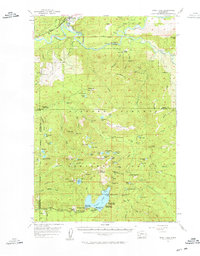
Editions of this 1957 Spirit Lake Map
3 editions found

Other maps of this area

1919 · Mount St Helens
USGS Topo · 1:125,000

1924 · Mt Rainier
USGS Topo · 1:96,000

1926 · Steamboat Mtn
USGS Topo · 1:125,000

1928 · Mt Rainier
USGS Topo · 1:125,000

1931 · Steamboat Mtn
USGS Topo · 1:125,000

1937 · Eatonville
USGS Topo · 1:125,000

1950 · Yakima
USGS Topo · 1:250,000

1953 · Hoquiam
USGS Topo · 1:250,000

1953 · Cougar
USGS Topo · 1:62,500

1953 · Elk Rock
USGS Topo · 1:62,500