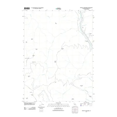
2012 Map of French Camp Ridge
USGS Topo · Published 2012About this map
French Camp Ridge serves as the central spine of this Humboldt County landscape, dividing numerous creek drainages that flow toward the winding Klamath River. The map documents a rugged interior characterized by distinct mountain prairies and ranching outposts, including Big Prairie, Shelton Prairie, and Rube Ranch. Near the northeast corner, the settlement of Waseck sits along the river corridor, connected by the Martins Ferry Bridge where Tully Creek Rd meets the water.
Find a feature on this map
44 named features on this map. Tap any name to fly to it.
Don’t see what you’re looking for? This feature index may not catch every label — zoom into the map to look around manually.
Map Details
Editions of this 2012 French Camp Ridge Map
This is the sole edition of this map. No revisions or reprints were ever made.
Other maps of this area

1925 · Hoopa
USGS Topo · 1:125,000

1945 · Coyote Peak
USGS Topo · 1:62,500

1945 · Tectah Creek
USGS Topo · 1:62,500

1948 · Weed
USGS Topo · 1:250,000

1950 · Weed
USGS Topo · 1:250,000

1952 · Coyote Peak
USGS Topo · 1:62,500

1952 · Hoopa
USGS Topo · 1:62,500

1952 · Orleans
USGS Topo · 1:62,500

1952 · Tectah Creek
USGS Topo · 1:62,500

1958 · Weed
USGS Topo · 1:250,000