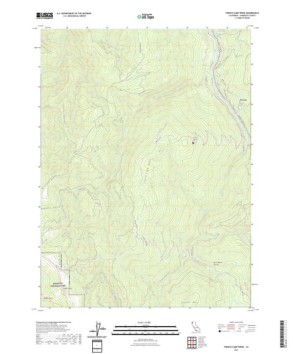
2021 Map of French Camp Ridge
USGS Topo · Published 2021About this map
The Klamath Wild and Scenic River carves through the northeastern corner of this Humboldt County landscape, bordered by the settlement of Waseck and various local access routes like Martin's Ferry Rd and Iron Gate Rd. The terrain is defined by a series of prominent elevations, including French Camp Ridge and the Bald Hills, which give way to the southwestern corner protected within Redwood National Park. Notable peaks such as Coyote Peak, Coyote Rock, and Ranger Mtn punctuate the ridges, while the Yurok Veterans Cem provides a significant cultural landmark in the central portion of the quadrangle.
Find a feature on this map
41 named features on this map. Tap any name to fly to it.
Don’t see what you’re looking for? This feature index may not catch every label — zoom into the map to look around manually.
Map Details
Editions of this 2021 French Camp Ridge Map
This is the sole edition of this map. No revisions or reprints were ever made.
Other maps of this area

1925 · Hoopa
USGS Topo · 1:125,000

1945 · Coyote Peak
USGS Topo · 1:62,500

1945 · Tectah Creek
USGS Topo · 1:62,500

1948 · Weed
USGS Topo · 1:250,000

1950 · Weed
USGS Topo · 1:250,000

1952 · Coyote Peak
USGS Topo · 1:62,500

1952 · Hoopa
USGS Topo · 1:62,500

1952 · Orleans
USGS Topo · 1:62,500

1952 · Tectah Creek
USGS Topo · 1:62,500

1958 · Weed
USGS Topo · 1:250,000