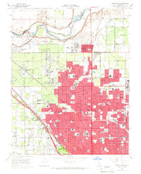
1965 Map of Fresno North
USGS Topo · Published 1966About this map
The San Joaquin River carves the northern boundary of this mid-1960s survey, marking the limit between Fresno and Madera counties. While much of the landscape is defined by the rigid grid of agricultural canals like the Herndon Canal and Enterprise Canal, the northward expansion of Fresno is clearly visible in the dense residential blocks pushing toward Pinedale. This era shows a community in rapid transition, where established rural features like the Figarden Sch and orchards around Figarden sit adjacent to new developments. Significant institutional footprints are evident, including the Fresno City College campus and the Veterans Hospital. The intersection of heavy rail and air travel is captured here, with the Southern Pacific tracks and the Atchison Topeka and Santa Fe line converging near the industrial zones of Muscatel, while Sierra Sky Park serves the growing aviation needs of the suburban fringe.
Find a feature on this map
53 named features on this map. Tap any name to fly to it.
Don’t see what you’re looking for? This feature index may not catch every label — zoom into the map to look around manually.
Map Details
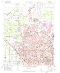
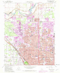
Editions of this 1965 Fresno North Map
3 editions found
Other maps of this area

1921 · Bullard
USGS Topo · 1:31,680

1922 · Lanes Bridge
USGS Topo · 1:31,680

1922 · Friant
USGS Topo · 1:31,680

1922 · Gregg
USGS Topo · 1:31,680

1923 · Kearney Park
USGS Topo · 1:31,680

1923 · Malaga
USGS Topo · 1:31,680

1923 · Herndon
USGS Topo · 1:31,680

1923 · Fresno
USGS Topo · 1:31,680

1923 · Clovis
USGS Topo · 1:31,680

1923 · Bullard
USGS Topo · 1:31,680