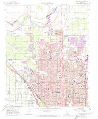
1965 Map of Fresno North
USGS Topo · Published 1974About this map
The San Joaquin River defines the northern boundary of this mid-1960s study, where the alluvial plain transitions from the riparian curves of Scout Island to the rigid street grid of northern Fresno. Large-scale agricultural infrastructure is evident in the dense network of irrigation channels, including the Herndon Canal, Enterprise Canal, and Gould Canal, which supported the region's orchards and vineyards before suburban expansion.
Find a feature on this map
120 named features on this map. Tap any name to fly to it.
Don’t see what you’re looking for? This feature index may not catch every label — zoom into the map to look around manually.
Map Details
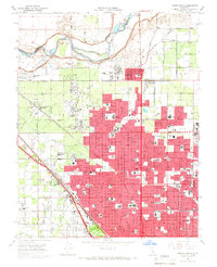
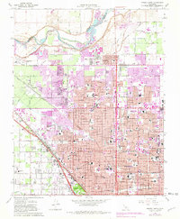
Editions of this 1965 Fresno North Map
3 editions found
Other maps of this area

1921 · Bullard
USGS Topo · 1:31,680

1922 · Lanes Bridge
USGS Topo · 1:31,680

1922 · Friant
USGS Topo · 1:31,680

1922 · Gregg
USGS Topo · 1:31,680

1923 · Kearney Park
USGS Topo · 1:31,680

1923 · Malaga
USGS Topo · 1:31,680

1923 · Herndon
USGS Topo · 1:31,680

1923 · Fresno
USGS Topo · 1:31,680

1923 · Clovis
USGS Topo · 1:31,680

1923 · Bullard
USGS Topo · 1:31,680