Loading...
Loading map...2022 Map of Friendswood
USGS Topo · Published 2022About this map
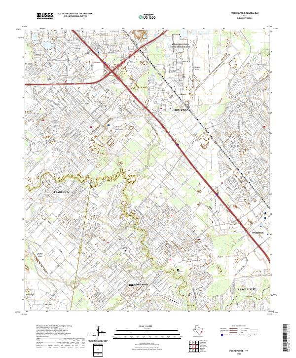
Friendswood and Pearland anchor this heavily developed region south of Houston, where the complex drainage systems of Clear Creek and its many tributaries, such as Cowart Creek and Marys Creek, snake through dense residential neighborhoods. The area's status as a transportation and aviation hub is evident, with Ellington Airport in the northeast and smaller facilities like Polly Ranch Airport and Pearland Regional Airport serving local needs.
Find a feature on this map
48 named features on this map. Tap any name to fly to it.
Don’t see what you’re looking for? This feature index may not catch every label — zoom into the map to look around manually.
Map Details
Date Portrayed2022
Date Published2022
PublisherU.S. Geological Survey
Map TypeTopographic
Scale1:24000
Physical Dimensions24 x 29 inches
Editions of this 2022 Friendswood Map
This is the sole edition of this map. No revisions or reprints were ever made.
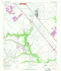
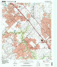
Historical Maps of Green Tee Terrace Through Time
3 maps found
Featured Locations
Source Details
SourceU.S. Geological Survey
CopyrightPublic Domain