Loading...
Loading map...1955 Map of Friendswood
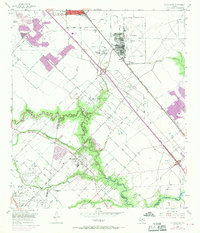
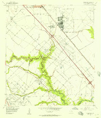
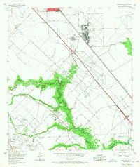
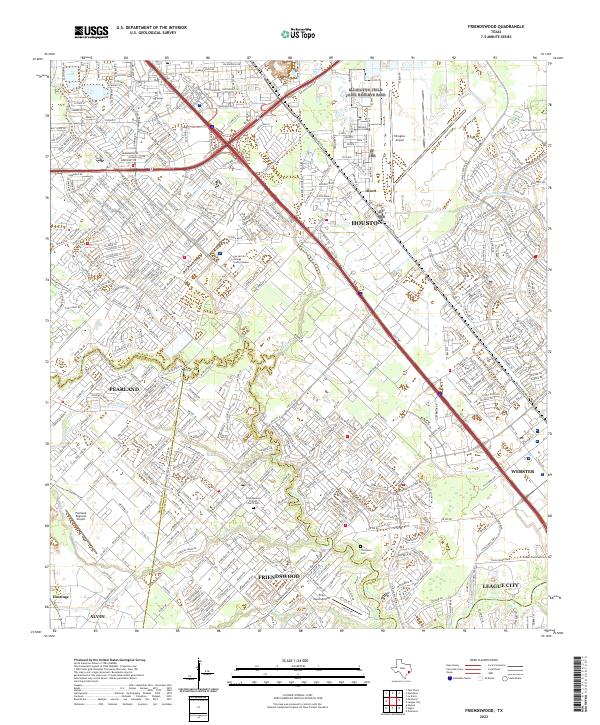
USGS Topo · Published 1970About this map
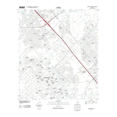
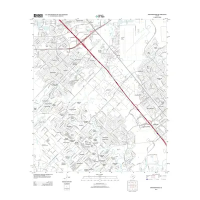
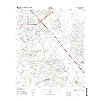
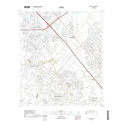
Ellington Air Force Base dominates the northeastern landscape of this mid-century survey, a period when the surrounding coastal prairies were rapidly transitioning from agricultural use to industrial and suburban expansion. The Friendswood Oil Field and the Galveston Houston and Henderson railroad lines illustrate the region's reliance on energy and transportation. Near the tri-county junction of Harris, Brazoria, and Galveston, the community of Friendswood sits nestled along the winding course of Clear Creek.
Find a feature on this map
25 named features on this map. Tap any name to fly to it.
Don’t see what you’re looking for? This feature index may not catch every label — zoom into the map to look around manually.
Map Details
Date Portrayed1955
Date Published1970
PublisherU.S. Geological Survey
Map TypeTopographic
Scale1:24,000
Physical Dimensions23 x 26.9 inches
Editions of this 1955 Friendswood Map
3 editions found
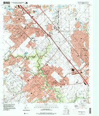
Historical Maps of Houston Through Time
7 maps found
Featured Locations
Source Details
SourceU.S. Geological Survey
CopyrightPublic Domain