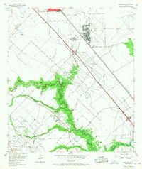
1955 Map of Friendswood
USGS Topo · Published 1968About this map
The settlement of Friendswood and the surrounding coastal prairie are documented in this mid-century survey, captured just before the intense suburban expansion of the Houston metropolitan area. The landscape is defined by the winding course of Clear Creek and its tributaries, including Marys Creek and Chigger Creek, which mark the boundaries between Harris, Brazoria, and Galveston counties. The transition from an agrarian economy to an industrial and military one is evident, with the expansive Ellington Air Force Base dominating the northeast and the Friendswood Oil Field punctuated by numerous salt water disposal sites and pipelines.
Find a feature on this map
29 named features on this map. Tap any name to fly to it.
Don’t see what you’re looking for? This feature index may not catch every label — zoom into the map to look around manually.
Map Details
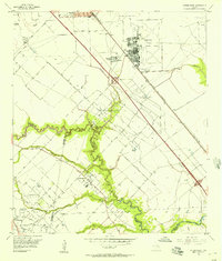
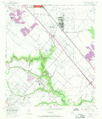
Editions of this 1955 Friendswood Map
3 editions found
Other maps of this area

1915 · Park Place
USGS Topo · 1:24,000

1915 · Deepwater
USGS Topo · 1:24,000

1916 · Genoa
USGS Topo · 1:24,000

1916 · Seabrook
USGS Topo · 1:24,000

1916 · La Porte
USGS Topo · 1:24,000

1919 · Deepwater
USGS Topo · 1:31,680

1920 · Seabrook
USGS Topo · 1:31,680

1920 · Genoa
USGS Topo · 1:31,680

1920 · Mykawa
USGS Topo · 1:31,680

1920 · La Porte
USGS Topo · 1:31,680