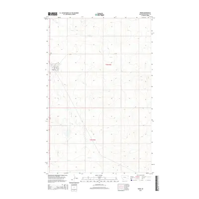
2014 Map of Froid
USGS Topo · Published 2014About this map
Froid serves as the central hub of this prairie landscape in Roosevelt County, where the street grid of the town site meets the wide reaches of the northern plains. The local geography is defined by the winding paths of Lost Cr and Sheep Cr, which cut through the township boundaries of t30n r56e and t29n r56e. For those tracing local heritage, the map identifies significant landmarks such as Kvile Cem and another smaller Cem located south of the main settlement along MT-16. The town's layout is clearly delineated, showing the alignment of E Main St and 1st St N against the rural backdrop. This survey illustrates the relationship between the organized town blocks and the surrounding drainage patterns that supported early 21st-century agricultural life in this corner of Montana.
Find a feature on this map
14 named features on this map. Tap any name to fly to it.
Don’t see what you’re looking for? This feature index may not catch every label — zoom into the map to look around manually.
Map Details
Editions of this 2014 Froid Map
This is the sole edition of this map. No revisions or reprints were ever made.
Other maps of this area

1914 · Homestead
USGS Topo · 1:62,500

1947 · Capeneys Lake
USGS Topo · 1:24,000

1947 · Homestead
USGS Topo · 1:24,000

1948 · Homestead
USGS Topo · 1:24,000

1948 · Capeneys Lake
USGS Topo · 1:24,000

1948 · Medicine Lake
USGS Topo · 1:24,000
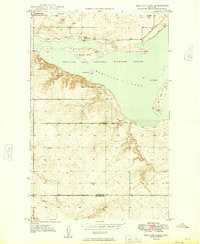
1949 · Medicine Lake
USGS Topo · 1:24,000

1949 · Johnson Lake
USGS Topo · 1:24,000
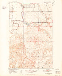
1950 · Johnson Lake
USGS Topo · 1:24,000

1954 · Wolf Point
USGS Topo · 1:250,000