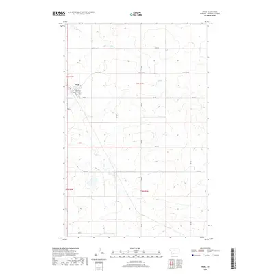
2020 Map of Froid
USGS Topo · Published 2020About this map
Froid serves as the primary hub of this eastern Montana landscape, situated at the intersection of Hwy 405 N and several local routes including 1st Ave S and 2nd Ave S. The town's grid is small but defined, surrounded by the vast drainage systems of Sheep Cr to the south and Lost Cr to the north. This 2020 record of the high plains illustrates the sparse but structured nature of Roosevelt County, where long-established burial grounds like Kville Cem and South Froid Cem provide essential anchor points for genealogists and local historians. The surrounding terrain is organized by a network of sectional roads such as E North Froid Rd and Rd 1020, reflecting the enduring agricultural geometry of the region.
Find a feature on this map
25 named features on this map. Tap any name to fly to it.
Don’t see what you’re looking for? This feature index may not catch every label — zoom into the map to look around manually.
Map Details
Editions of this 2020 Froid Map
This is the sole edition of this map. No revisions or reprints were ever made.
Other maps of this area

1914 · Homestead
USGS Topo · 1:62,500

1947 · Capeneys Lake
USGS Topo · 1:24,000

1947 · Homestead
USGS Topo · 1:24,000

1948 · Homestead
USGS Topo · 1:24,000

1948 · Capeneys Lake
USGS Topo · 1:24,000

1948 · Medicine Lake
USGS Topo · 1:24,000
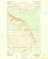
1949 · Medicine Lake
USGS Topo · 1:24,000

1949 · Johnson Lake
USGS Topo · 1:24,000
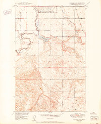
1950 · Johnson Lake
USGS Topo · 1:24,000

1954 · Wolf Point
USGS Topo · 1:250,000