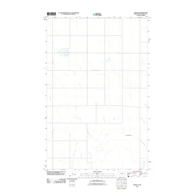
2011 Map of Froid SE
USGS Topo · Published 2011About this map
Duck Lake and the undulating breaks of Roosevelt County define this corner of the High Plains as it appeared in the early 21st century. The landscape is marked by a network of seasonal watercourses and drainage basins, most notably the confluence of West Shotgun Creek and East Shotgun Creek as they wind south. To the west, the ephemeral Lost Creek follows the path of Lanark Rd, illustrating the intersection of natural topography and the surveyed grid of rural Montana. A notable geological feature, Devils Kitchen, highlights the erosion-carved terrain typical of this region. Human activity is primarily visible through the organized road system, including East South Froid Rd and the federal-aid secondary route Fas 405, which facilitate access across these expansive ranchlands and agricultural plots.
Find a feature on this map
8 named features on this map. Tap any name to fly to it.
Don’t see what you’re looking for? This feature index may not catch every label — zoom into the map to look around manually.
Map Details
Editions of this 2011 Froid SE Map
This is the sole edition of this map. No revisions or reprints were ever made.
Other maps of this area

1947 · Capeneys Lake
USGS Topo · 1:24,000

1948 · Capeneys Lake
USGS Topo · 1:24,000

1948 · Sunnyhill School
USGS Topo · 1:24,000

1948 · Medicine Lake
USGS Topo · 1:24,000

1949 · Sunnyhill School
USGS Topo · 1:24,000
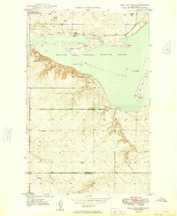
1949 · Medicine Lake
USGS Topo · 1:24,000

1954 · Wolf Point
USGS Topo · 1:250,000

1958 · Wolf Point
USGS Topo · 1:250,000

1982 · Culbertson
USGS Topo · 1:100,000
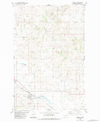
1983 · Bainville
USGS Topo · 1:24,000