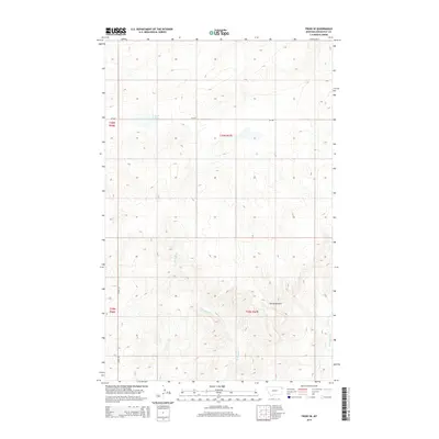
2014 Map of Froid SE
USGS Topo · Published 2014About this map
Devils Kitchen anchors the southeastern landscape of this Roosevelt County quadrangle, where the rolling plains are carved by a network of intermittent drainages. The hydrology of the area is defined by the convergence of W Shotgun Cr and E Shotgun Cr, which draw runoff across the northern Missouri River breaks. Duck Lake provides a rare permanent water feature in the northern section, surrounded by the high-elevation contours of the Big Muddy Creek watershed. Infrastructure is sparse, reflecting the vast ranching and agricultural operations of northeastern Montana. Movement through this region relies on Mt-405 and the north-south corridor of Young Rd, which trace the high ground between Lost Cr and the Shotgun Creek drainages.
Find a feature on this map
11 named features on this map. Tap any name to fly to it.
Don’t see what you’re looking for? This feature index may not catch every label — zoom into the map to look around manually.
Map Details
Editions of this 2014 Froid SE Map
This is the sole edition of this map. No revisions or reprints were ever made.
Other maps of this area

1947 · Capeneys Lake
USGS Topo · 1:24,000

1948 · Capeneys Lake
USGS Topo · 1:24,000

1948 · Sunnyhill School
USGS Topo · 1:24,000

1948 · Medicine Lake
USGS Topo · 1:24,000

1949 · Sunnyhill School
USGS Topo · 1:24,000
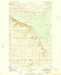
1949 · Medicine Lake
USGS Topo · 1:24,000

1954 · Wolf Point
USGS Topo · 1:250,000

1958 · Wolf Point
USGS Topo · 1:250,000

1982 · Culbertson
USGS Topo · 1:100,000
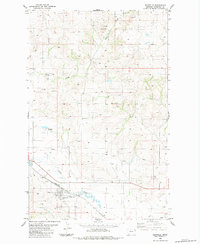
1983 · Bainville
USGS Topo · 1:24,000