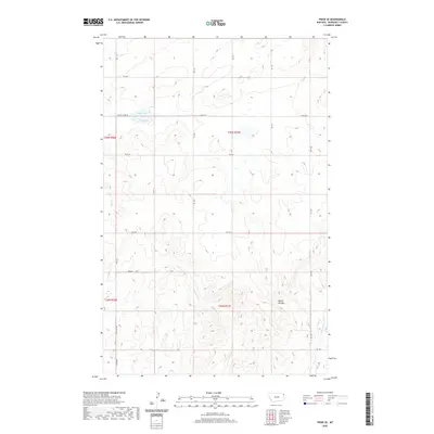
2020 Map of Froid SE
USGS Topo · Published 2020About this map
Duck Lake lies near the northern boundary of this Roosevelt County landscape, where the high plains are carved by an intricate network of drainage channels. The terrain is characterized by the distinctive erosional formations of the Devils Kitchen, located in the southeastern portion of the quadrangle. This area serves as a significant drainage divide, where the headwaters of W Shotgun Cr, E Shotgun Cr, and Lost Cr originate and wind through the section lines. The map reveals a strictly regulated grid of section roads, such as E North Froid Rd and Young Rd, illustrating the intersection of modern transportation with the historic Public Land Survey System. These routes, including Hwy 405 N, follow the cardinal directions to navigate a landscape defined more by its subtle topographic shifts than by large settlements.
Find a feature on this map
23 named features on this map. Tap any name to fly to it.
Don’t see what you’re looking for? This feature index may not catch every label — zoom into the map to look around manually.
Map Details
Editions of this 2020 Froid SE Map
This is the sole edition of this map. No revisions or reprints were ever made.
Other maps of this area

1947 · Capeneys Lake
USGS Topo · 1:24,000

1948 · Capeneys Lake
USGS Topo · 1:24,000

1948 · Sunnyhill School
USGS Topo · 1:24,000

1948 · Medicine Lake
USGS Topo · 1:24,000

1949 · Sunnyhill School
USGS Topo · 1:24,000
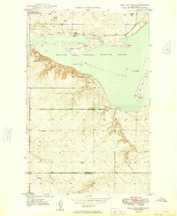
1949 · Medicine Lake
USGS Topo · 1:24,000

1954 · Wolf Point
USGS Topo · 1:250,000

1958 · Wolf Point
USGS Topo · 1:250,000

1982 · Culbertson
USGS Topo · 1:100,000
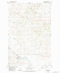
1983 · Bainville
USGS Topo · 1:24,000