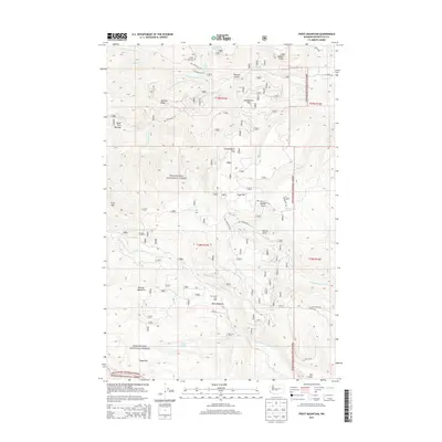
2014 Map of Frost Mountain
USGS Topo · Published 2014About this map
Manastash Cow Camp stands as a focal point of human activity within the high timber and meadows of the Wenatchee National Forest. This 2014 survey captures the intricate network of drainage systems and forest service infrastructure that defines the eastern Cascades. From the peak of Frost Mtn down through the expansive Keenan Meadows, the map details a landscape carved by the north and south forks of both Taneum Cr and Manastash Creek.
Find a feature on this map
45 named features on this map. Tap any name to fly to it.
Don’t see what you’re looking for? This feature index may not catch every label — zoom into the map to look around manually.
Map Details
Editions of this 2014 Frost Mountain Map
This is the sole edition of this map. No revisions or reprints were ever made.
Other maps of this area

1897 · Mount Stuart
USGS Topo · 1:125,000

1899 · Ellensburg
USGS Topo · 1:125,000

1901 · Ellensburg
USGS Topo · 1:125,000

1901 · Snoqualmie Pass
USGS Topo · 1:125,000

1902 · Mount Aix
USGS Topo · 1:125,000

1902 · Mount Stuart
USGS Topo · 1:125,000

1903 · Snoqualmie
USGS Topo · 1:125,000

1904 · Mt Aix
USGS Topo · 1:125,000

1950 · Yakima
USGS Topo · 1:250,000

1957 · Wenatchee
USGS Topo · 1:250,000