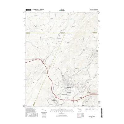
2016 Map of Frostburg
USGS Topo · Published 2016About this map
Frostburg sits atop the ridges of the Allegheny Mountains, anchoring a landscape shaped by coal history and academic growth. The campus of Frostburg State Univ occupies the heart of the city, while the surrounding hills are dotted with industrial legacy sites like Eckhart Mines and the small mining settlements of Midlothian, Shaft, and Zihlman. The terrain is dominated by the massive parallel ridges of Little Savage Mtn and Big Savage Mtn, which forced early transport routes into the narrow gaps and valleys that define the local geography.
Find a feature on this map
167 named features on this map. Tap any name to fly to it.
Don’t see what you’re looking for? This feature index may not catch every label — zoom into the map to look around manually.
Map Details
Editions of this 2016 Frostburg Map
This is the sole edition of this map. No revisions or reprints were ever made.
Other maps of this area

1898 · Frostburg
USGS Topo · 1:62,500

1899 · Grantsville
USGS Topo · 1:62,500

1901 · Frostburg
USGS Topo · 1:62,500

1904 · Grantsville
USGS Topo · 1:62,500

1908 · Frostburg
USGS Topo · 1:62,500

1921 · Meyersdale
USGS Topo · 1:62,500

1923 · Berlin
USGS Topo · 1:48,000

1929 · Berlin
USGS Topo · 1:62,500

1939 · Meyersdale
USGS Topo · 1:62,500

1944 · Berlin
USGS Topo · 1:62,500