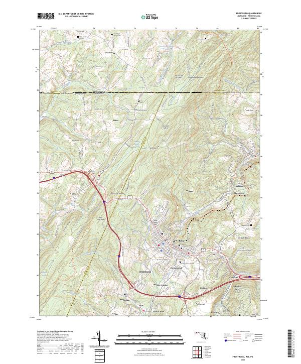
2023 Map of Frostburg
USGS Topo · Published 2023About this map
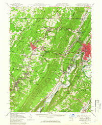
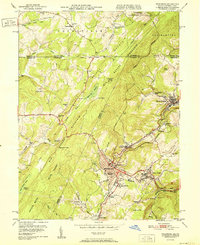
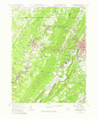
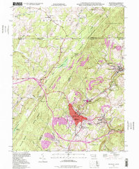
Frostburg serves as the focal point for this survey of the Allegheny Mountains, where the high ridges of Big Savage Mountain and Little Savage Mountain dominate the western horizon. The area reflects a deep history of coal extraction and transportation, evidenced by the cluster of mining settlements including Eckhart Mines, Borden Shaft, and Midlothian. The topography is marked by significant elevation changes, from the heights of Bald Knob and Sampson Rock down to the creek valleys where Jennings Run and Georges Creek gather headwaters.
Find a feature on this map
180 named features on this map. Tap any name to fly to it.
Don’t see what you’re looking for? This feature index may not catch every label — zoom into the map to look around manually.
Map Details
Editions of this 2023 Frostburg Map
This is the sole edition of this map. No revisions or reprints were ever made.
Historical Maps of Zihlman Through Time
10 maps found

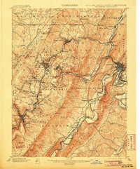
1898 Frostburg
Allegany County, MD
1901 Frostburg
Allegany County, MD
1908 Frostburg
Allegany County, MD
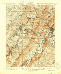
1949 Frostburg
Allegany County, MD
1950 Frostburg
Allegany County, MD
1951 Frostburg
Allegany County, MD
1951 Frostburg
Allegany County, MD
1977 Frostburg
Allegany County, MD
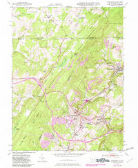
1998 Frostburg
Allegany County, MD
2023 Frostburg
Allegany County, MD