
1973 Map of Frozen Man Creek
USGS Topo · Published 1978About this map
Frozen Man Creek meanders through this landscape in Meade County during the early 1970s, carving a drainage pattern that defines the local ranching country. The terrain is marked by a network of seasonal waterways including Eagle Creek, Spring Creek, and Plum Creek, which converge to shape the rangeland. Settlement is sparse, anchored by educational outposts like Squaw Butte School and the simple designation of School 2, serving the rural families of the northern plains.
Find a feature on this map
12 named features on this map. Tap any name to fly to it.
Don’t see what you’re looking for? This feature index may not catch every label — zoom into the map to look around manually.
Map Details
Editions of this 1973 Frozen Man Creek Map
This is the sole edition of this map. No revisions or reprints were ever made.
Other maps of this area

1951 · Cedar Canyon
USGS Topo · 1:24,000

1953 · Rapid City
USGS Topo · 1:250,000

1954 · Lemmon
USGS Topo · 1:250,000

1957 · Lemmon
USGS Topo · 1:250,000

1957 · Rapid City
USGS Topo · 1:250,000

1977 · Table Top Butte
USGS Topo · 1:24,000
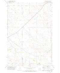
1978 · Camp Creek
USGS Topo · 1:24,000

1978 · Bull Run Creek
USGS Topo · 1:24,000

1980 · Beverly Creek
USGS Topo · 1:25,000
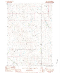
1983 · Squaw Buttes
USGS Topo · 1:24,000