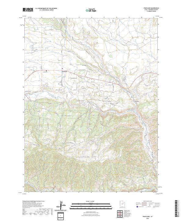
2023 Map of Fruitland
USGS Topo · Published 2023About this map
Fruitland occupies a central position along Highway 40 in this 2023 survey of Duchesne County, Utah. The settlement serves as a gateway to the high-country terrain of Currant Creek Mtn, where the landscape is defined by a network of drainage systems including Currant Creek and Red Creek. The topography transitions from the elevated flats of Cedar Ridge to the carved relief of Timber Draw and Grass Hollow, reflecting the region's ranching and recreational layout. Genealogy and local history researchers will find the Fruitland Cem clearly marked near the town center.
Find a feature on this map
52 named features on this map. Tap any name to fly to it.
Don’t see what you’re looking for? This feature index may not catch every label — zoom into the map to look around manually.
Map Details
Editions of this 2023 Fruitland Map
This is the sole edition of this map. No revisions or reprints were ever made.
Other maps of this area
1885 · Uinta
USGS Topo · 1:250,000
1954 · Salt Lake City
USGS Topo · 1:250,000
1958 · Salt Lake City
USGS Topo · 1:250,000
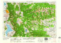
1960 · Salt Lake City
USGS Topo · 1:250,000
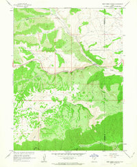
1962 · Deep Creek Canyon
USGS Topo · 1:24,000
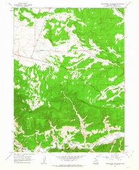
1962 · Strawberry Pinnacles
USGS Topo · 1:24,000
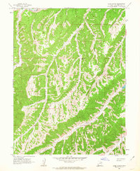
1962 · Sams Canyon
USGS Topo · 1:24,000
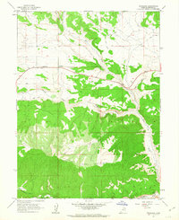
1962 · Fruitland
USGS Topo · 1:24,000
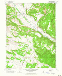
1962 · Tabiona
USGS Topo · 1:24,000
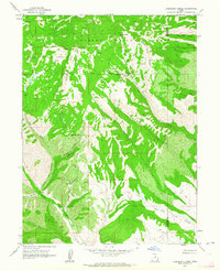
1962 · Raspberry Knoll
USGS Topo · 1:24,000