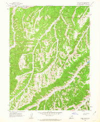
1962 Map of Sams Canyon
USGS Topo · Published 1963About this map
Strawberry River flows across the northern edge of this high-elevation landscape in Duchesne County, where a complex network of drainage systems defines the topography. The map illustrates the rugged transition between the Avintaquin Canyon and the massive basin of Sams Canyon, marked by numerous branching draws and hollows such as Hoodoo Canyon and Raspberry Hollow. Natural water sources were critical for the era's land use, as evidenced by named points like O'Driscoll Spring and Big Spring.
Find a feature on this map
36 named features on this map. Tap any name to fly to it.
Don’t see what you’re looking for? This feature index may not catch every label — zoom into the map to look around manually.
Map Details
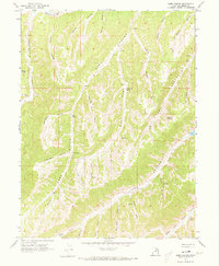
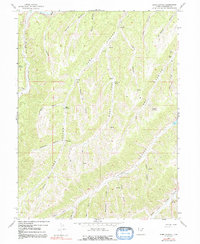
Editions of this 1962 Sams Canyon Map
3 editions found
Other maps of this area

1885 · Uinta
USGS Topo · 1:250,000

1886 · Price River
USGS Topo · 1:250,000

1896 · Price River
USGS Topo · 1:250,000

1954 · Salt Lake City
USGS Topo · 1:250,000

1956 · Price
USGS Topo · 1:250,000

1958 · Salt Lake City
USGS Topo · 1:250,000

1960 · Salt Lake City
USGS Topo · 1:250,000

1960 · Price
USGS Topo · 1:250,000

1962 · Price
USGS Topo · 1:250,000

1962 · Strawberry Pinnacles
USGS Topo · 1:24,000